Tourism property owners and operators, cane farmers and transport professionals joined government revenue collection and law enforcement officials to learn how the Government of Belize is updating its Land Use Policy of 2011 to factor in Climate Change impacts, at a public consultation at the Best Western Biltmore Plaza Hotel in Belize City last Friday, March 1st.
The land policy reform is part of a much larger Climate Resilient Infrastructure Project, funded by the World Bank and the Social Investment Fund. The Ministry of Natural Resources hired an international team of consultants, Grupo TYPSA Agrer in 2017 to prepare an action plan and planning framework on how this reform update would be implemented.
There are presently over 20 different government departments and units involved in implementing this reform which will be impacted by the changes, explained institutional budget planning and management specialist Noel Jacobs. He also tried to describe the complicated organogram of the way these many bodies use and share information. The plan calls for the establishment of a Department of National Spatial Data, which will include the Land Information Center (LIC) established in 1992, with a system to collect and share information, which the government is now trying to consolidate into one Belize National Spatial Data Infrastructure (BNSDI). The BNSDI is also linked to the Biodiversity and Environmental Resource Data System (BERDS) to factor into the planning, how Belize’s flora and fauna will be impacted by any changes.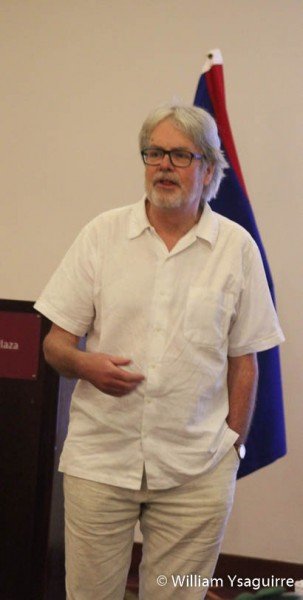
Agrer’s spatial planning consultant John McGill explained the guiding principles: that land is finite with vital economic, social, ecological and cultural values, which are threatened by Climate Change. Therefore, any future land use must be planned for development in a sustainable manner, so that our children and grandchildren will continue to enjoy its benefits in the long term, to alleviate and break the poverty cycle. The new policy will guide how GOB manages land, under the existing laws. This will determine what land is suitable to build our homes, what can be used for businesses, warehouses and industry, and what land is best suited for tourism development: hotels, resorts, landscaping and nature reserves. It will also allot land for farming, be it artisanal farming or large-scale industrial farming; what areas can be used for extractive forestry and mining, and what can be used for utilities such as hydro-electric plants. It will determine the routing of our roads and waterways, for air and sea transport terminals, where sports and recreational facilities may be located, and what should simply be left as recreational nature areas for sightseers.
Urban development will be ordained by policy guidelines for suitable sites, minimum house lot size – eight per acre, minimum 50-foot street frontage, and access for other services, utilities, and drainage. Commercial lots and industrial may be limited to two per acre, including services such as electricity, drainage, sewerage and septic tanks. The same goes for the rural environment, and policy will determine where villages may be located, legally ordering minimum lot size, access to services, and to avoid conflicting uses.
The reforms will be affected by legislating into place new regulations and Statutory Instruments, to avoid any changes to the existing Register Land Act, explained Agrer’s legal specialist Michael McCandless, from Canada. The idea is to offer all land users security of tenure, to survey all leased land and register all land titles, and to allocate land to informal settlers and squatters. The consultancy team recommended a pilot project which will relax present survey standard to allow for satellite spatial imagery to be used, to speed up the process, as opposed to more tedious and time-consuming on-the-ground field surveys. The Ministry of Lands will be charged with the responsibility to determine what adjustments are in the best interest of the public so that the transparency of the land tenure process is not compromised.
Agrer, spatial data consultant Michel Lambotte from Belgium, explained how the BNSDI would work and how spatial data might be used to determine the optimal location of factories, including topographical gradients and slope, flood risks, proximity to transportation – roads and rivers, and to settlements for a labor force. These different factors would be aggregated using Arc-GIS technology for any site under consideration, and the criteria scores determined by computer modeling would be used to validate a yes or no decision. The system uses many open-source software technologies to create a Web-based Mapping Tool, to which the user simply keys in the desired scenario: tourism, agriculture, residential, etc. and the system will display the appropriate Land Suitability Map (LSM). Access to accurate data is what presently what limits the quality of our land use decisions; firstly, whether the data exists, the scale and detail of the data, and whether we have access, since it may be part of a survey not done by Belize authorities.
Agrer’s natural resources management specialist Antonio Arenas, from Chile, laid out the roadmap of how the new policy and action plan would be rolled out. The action plan will guide the economic and legal reforms for effective land use governance. The policy will guide decision-making in how land is distributed, to ensure a lanced access to land and resources. This plan lays out a process for land valuation using present market values, land taxation, land administration – grants, lease cancellation, and an appeal process, the productive use of land and rural land uses – farms and other developments. Presently all of Belize’s shoreline is under use, by the Integrated Coastal Zone Management Plan.
The plan also identifies lands which are in a critical state of degradation, which may be under management plans for protection and restoration. Each land use decision must be based on a scenario model which factors in the risks and threats of Climate Change Impacts. A major consideration is how any human development will store and use water efficiently, and planned procedures for decontamination before and after use.
The result is for all land use plans to be integrated into the NSDI, to ensure compliance with all existing laws and regulations, with the transparency of the process guaranteed by a public education process to ensure that the public understands how the decisions are made. This will require for key Ministers of Government become part of a National Lands Advisory Committee, which will have an executive secretariat to handle the technical coordination of the decision-making.
The plan calls for the hiring of new staff and additional training to upgrade the staff’s skills in several government departments: National Estates, Surveys and Mapping, Inspection and Enforcement, Mining, Hydrology, Physical Planning lands Information Center and Valuation Units, to name but a few.

Share
Related Articles
Read more