Press Release, Belmopan, Belize. May 30, 2025. The Government of Belize (GOB), through the Ministry of Economic Transformation (MET) and the Resilient Rural Belize Programme (RRB), with funding from GOB, the International Fund for Agricultural Development (IFAD) and the Green Climate Fund (GCF), provided weather sensors to the National Meteorological Service (NMS) of Belize to upgrade and support the growth of observation network in 2024. These sensors assist the Climate Services section in providing real-time weather information to rural farmers and households in Belize. This upgrade will enhance the NMSs ability to monitor weather and climate variables, maintain its observation network, produce sub-season and seasonal climate forecasts, and tailored climate information disseminated to the agriculture and other climate-sensitive sectors in key rural communities via the RRB programme.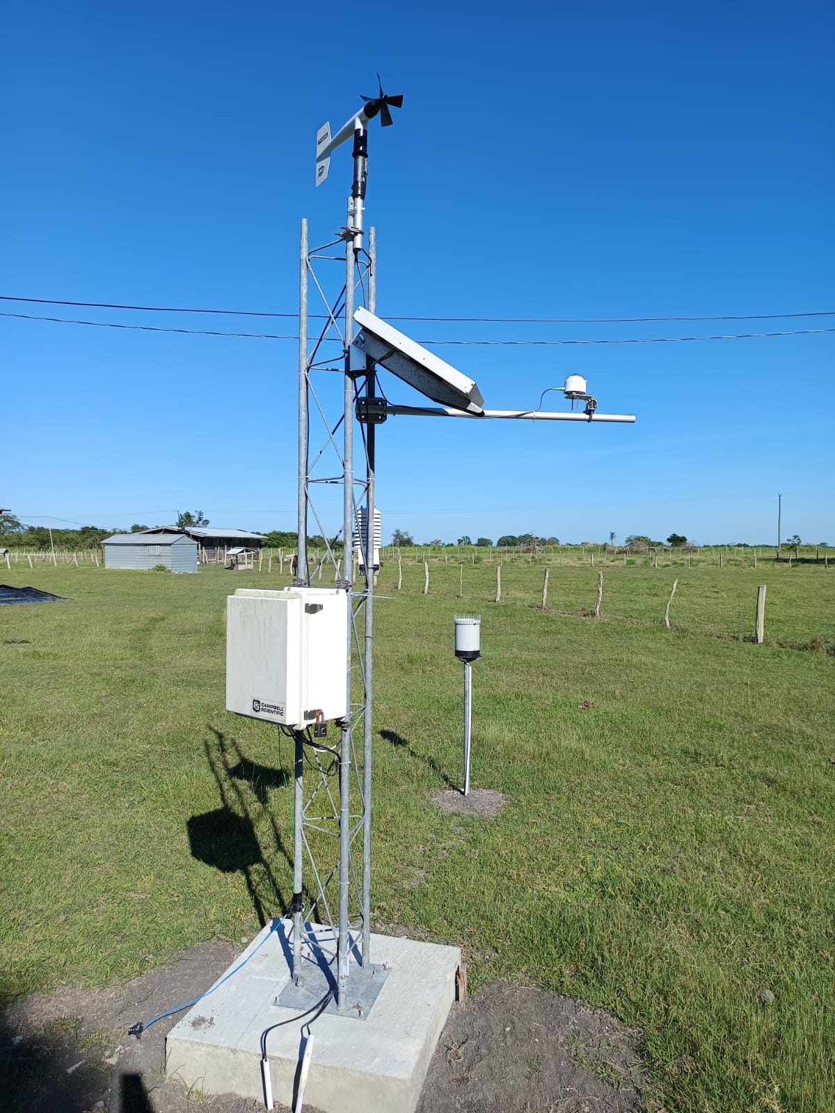
Once completed by June 30, the 13 weather stations will provide detailed, real-time weather data from all 13 communities in the RRB project area, including San Carlos, Yo Chen, Libertad, Yo Creek, Santa Martha, Nago Bank, La Gracia, San Antonio, Red Bank, Barranco, San Jose, etc. This data will enable the NMS and local emergency partners to better forecast severe weather and extreme climatic events, more precisely distribute resources in key areas, and take faster action to prepare for and respond to potential impacts on the agriculture sector before, during, and after these events. It will also help to improve emergency response as we prepare for the upcoming 2025 hurricane season. Our observation network provides invaluable real-time data to help us monitor and forecast extreme events before they threaten to impact the country and, in particular, the agriculture sector across these key communities, and they will be able to act quickly and proactively to be better prepared.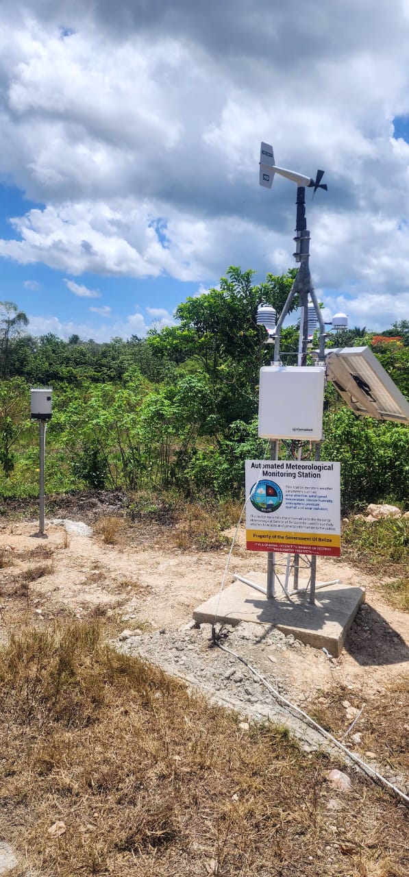
Six of the weather stations have been installed, with four being upgraded, and the remaining three will be installed over the next month. The weather stations were installed in strategic locations. They record measurements every 5-15 minutes, including relative humidity levels, wind speed, temperature, rainfall, soil moisture, and soil temperature. These data will be analysed, modelled, exchanged, processed, archived, and created into agricultural summaries and products, allowing farmers to anticipate any potential seasonal disruptions and prevent potential losses.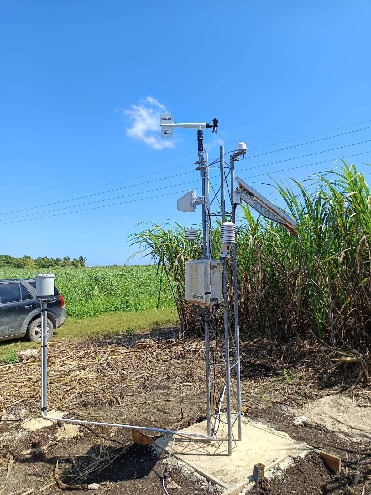
The next phase of this initiative will involve the upgrade and release of the NMS’s first mobile application (APP) that farmers and the public will be able to use to access real-time weather, climate, and agrometeorological information and weather and climate early warning alerts provided by the NMS.
Share
Related Articles
Read more