 Conference.)
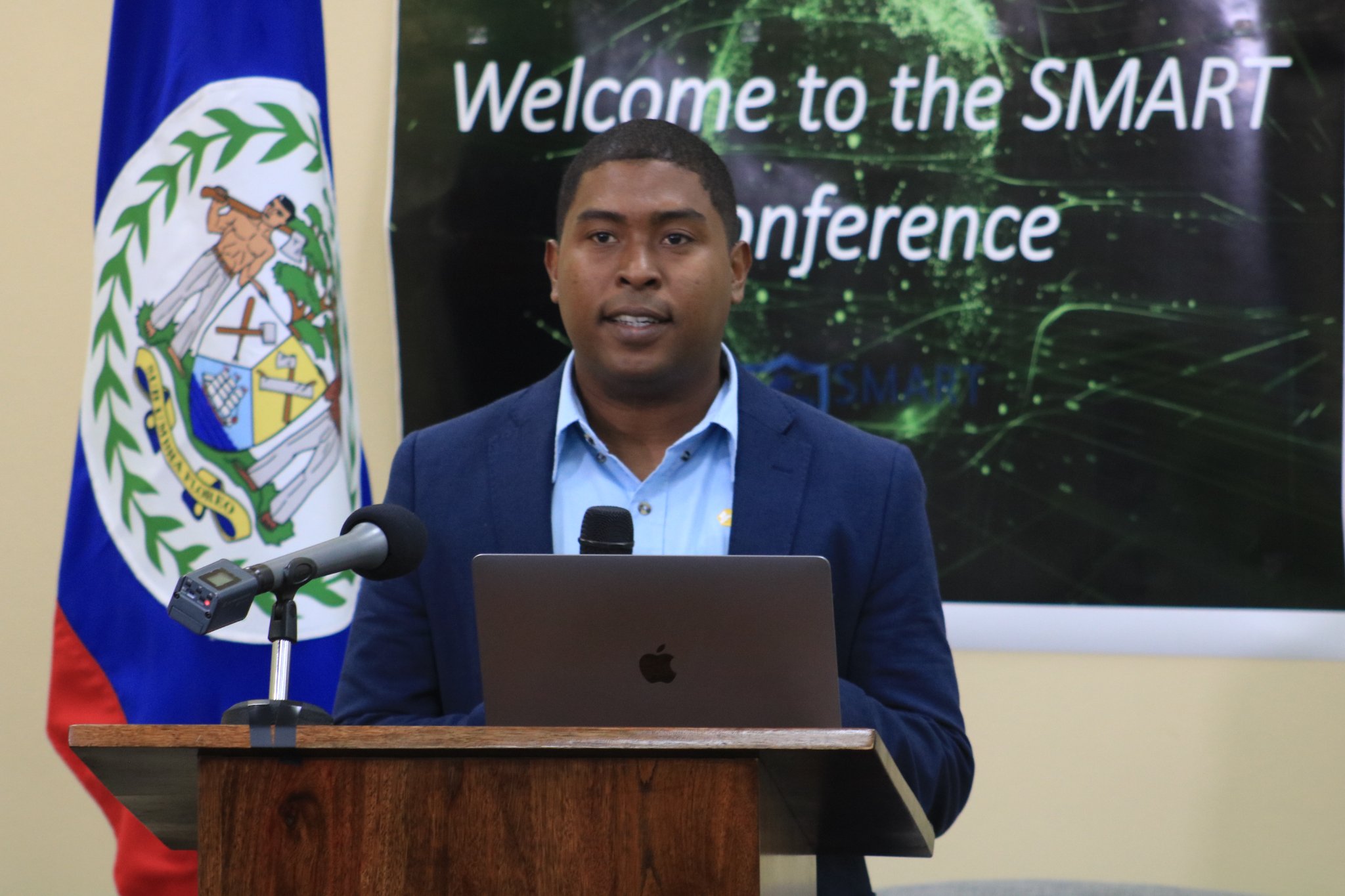
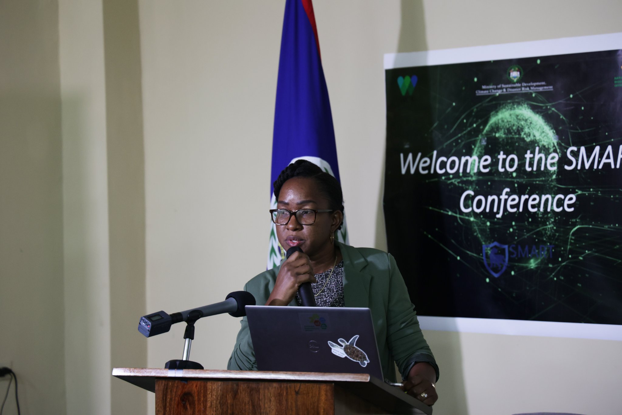
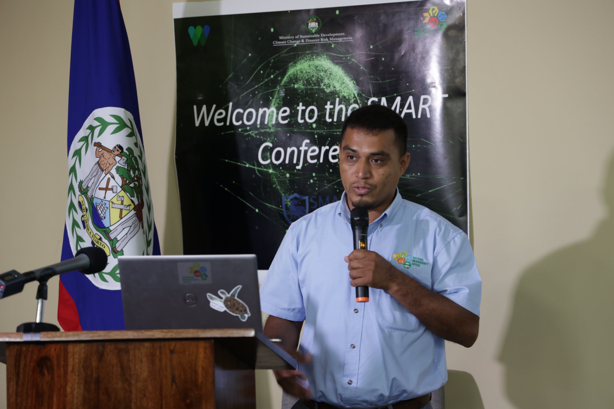
On June 1, 2022, The National Biodiversity Office, within the Ministry of Sustainable Dev. Climate Change & Disaster Risk Management, in collaboration with the Wildlife Conservation Society, hosted a Spatial Monitoring and Reporting Tool (SMART) Conference under the theme, “Integrating data collection through SMART Technology, Strengthening Belize’s Approach to Protected Areas Enforcement”.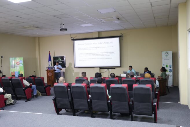
Both GIS and SMART users from across the country will share experiences on the use of this technological tool as well as challenges and opportunities for improving system performance and protection of critical habitats and biodiversity. One key highlight of this year’s event is the launching of a SMART data model for terrestrial protected areas. These data models establish the baseline parameters that will be used to streamline data collection within terrestrial sites.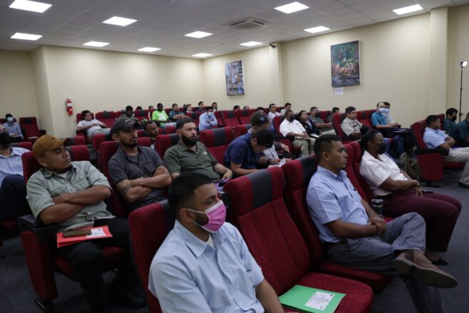
According to Biodiversity Officer Saul Cruz, “it is envisioned that the data model will provide sufficient ‘real-time’ data to government agencies and other users to inform intelligence-based activities that aid in the identification of hotspots of illegal activities and strategic management of threats and pressures within protected areas”.
Through the use of SMART technologies, protection enforcement officers are able to utilize applications while on patrols to capture vital information for successful monitoring and enforcement. Using the desktop features, data can also be used to generate reports and create maps.