

A public consultation on a proposed mixed-use real estate development southwest of San Pedro Town was held on November 27th at the Angel Nuñez Auditorium. The area, identified as Turtle Island–Private Island, lies near established tourism and residential zones such as Cayo Espanto and Brahma Blue. The presentations focused on the Environmental Impact Assessment (EIA) for Castle Capital Development Ltd., the company behind the proposed project. While conservation aspects were highlighted, the small group of stakeholders and tour guide students in attendance left with more questions than answers, expressing uncertainty about the project’s long-term environmental impacts.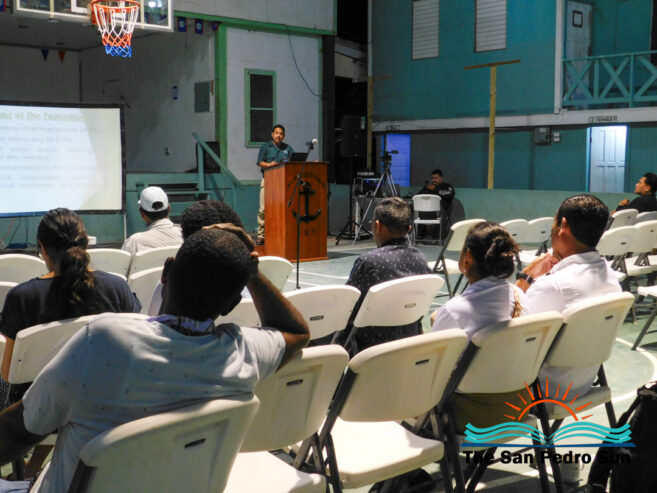
Consultant Dr. Abel Carrias of Sustainable Development Consulting Services presented the EIA findings. He explained that the project consists of two main components: Turtle Island and Private Island. “The section of the project known as Turtle Island is to the south of the property and is an existing tourism operation, which is not operating right now but has environmental clearance to operate,” he said. The current approved plan includes eight east-facing units, additional west-facing units, a restaurant, bar, and pool. Carrias said there is approval to construct 18 additional one-, two-, and three-bedroom units, along with other amenities that already have environmental clearance.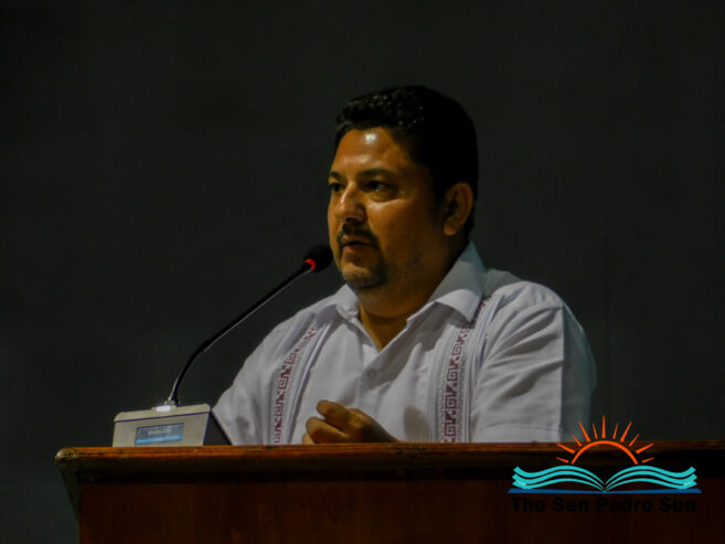
According to Carrias, the next phase for Turtle Island involves a residential expansion of 164 buildings, ranging from one- to three-bedroom units. Amenities, including restaurants and a pool, will accompany it. The Private Island portion of the development is described as a residential area designed in alignment with the National Sustainable Tourism Master Plan 2030 and the Northern Region Coastal Zone Management Guidelines. This component includes 54 acres and 111 units, divided between 36 acres on the north side and 18 acres on the south side. Carrias acknowledged that some vegetation will be disturbed for construction, though he emphasized that portions of the area will remain undeveloped. “About 38% of the 54 acres will not be developed and will be left as green spaces,” he noted, adding that natural vegetation has struggled to regenerate there due to soil and geological conditions.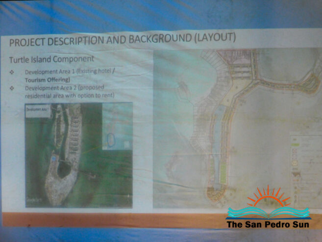
Regarding vegetation clearance, Carrias reported that approximately 8.26 acres on Turtle Island will be modified, mainly in the northeast portion. In comparison, 10.3 acres will be cleared on Private Island to accommodate walkways and unit access. He also detailed plans to clean and standardize existing canals. “These canals will be over 200 feet long, they will be widened to 27 feet, and they will be dug to a depth of seven feet,” he said.
The proposed conservation areas include the internal lagoon system, described as a “swim and snorkel lagoon.” “This portion of the area will be reclaimed, excavated, engineered, and sculptured into a recreation lagoon,” Carrias said. This lagoon is projected to encompass 8.77 acres. Turtle Island’s approved plan also includes a 2.503-acre open space to be revegetated with ecological trails, landscaped gardens, and social areas. On Private Island, over 35 acres are proposed as green space, where native vegetation will be preserved or planted to enhance beauty and balance the environment.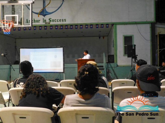
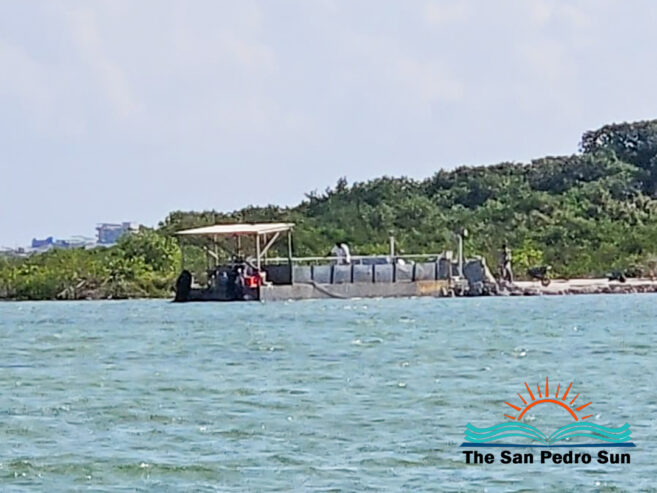
However, concerns intensified when dredging and landfilling components were presented. Carrias stated that the project will require 451,814 cubic yards of fill, sourced from designated borrow sites covering approximately 27 acres combined. He noted that these sites were selected for their lower ecological sensitivity and confinement, which he said would reduce sediment plumes. Additional components of the project include six wooden piers ranging from 100 to 350 feet long, bridges connecting internal canals, and shoreline protection measures. Carrias described these as a mix of soft engineering, such as mangrove planting, and hard engineering, including seawalls where necessary.
The EIA also incorporated scientific studies using various assessment tools, including point counts for birds, camera stations for mammals, Seagrass Net Protocol for seagrass beds, Belt Transect Count for fish, and the Point Intercept method for corals and benthic fauna. According to Carrias, much of the surveyed area appears to show low biodiversity, with few species dominating the ecosystem. Water samples reportedly indicated contamination likely linked to human sources, including sewage.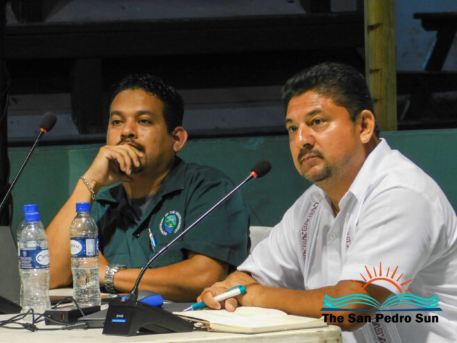
Before the presentation, Carrias said the development team consulted several stakeholders. Utilities were a significant concern. Carrias explained that the project aims to generate its own power, water, and treated waste. Water would be produced using two industrial reverse osmosis systems, while liquid waste would be managed through a biological treatment system known as BESST. Solid waste would be transferred to the mainland’s disposal system. Each unit is also planned to operate with its own solar array and battery backup, with a potential future solar farm considered pending agreements with the Government of Belize and Belize Electricity Limited. Carrias added that the project was downsized from more than 200 units to 164 to better align with tourism activities such as fly-fishing.
Mitigation measures outlined in the EIA include a restrictive covenant requiring all investors and buyers to adhere to environmental standards. “For example, there will be the option for only three types of housing design for the sake of the environment,” Carrias said. Other measures include resident training, environmental monitoring, wildlife protection plans, and ongoing engagement with local organizations. Carrias stated that environmental audits, water quality monitoring, and biodiversity assessments will continue throughout the project’s lifespan.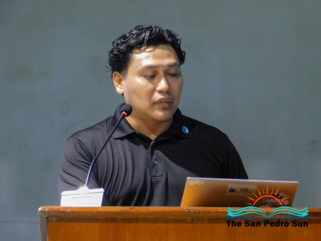
Despite these assurances, many attendees voiced strong concerns. Moderator Denis Maldonado facilitated questions from participants, including Philip “Billy” Leslie, President of the San Pedro Tour Guide Association. Leslie urged developers to incorporate local knowledge into their planning. “We are not here to fight with you. We are here because we care and we want to take care of our resources for our youth,” he said, pointing to concerns about inadequate monitoring of existing developments. 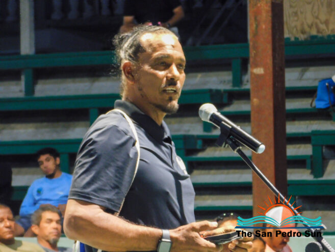 Other stakeholders, including Elito Arceo, Oscar Iboy, and Omar Arceo, questioned the dredging plans and raised alarms about impacts on fly-fishing flats, lagoons, and the barrier reef.
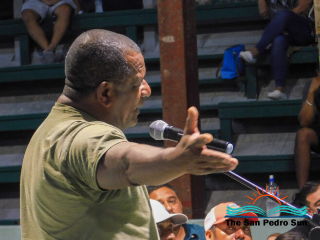
“These areas are very low, I know it,” said tour guide and fly-fishing instructor Omar Arceo. “All the changes from this development are affecting us because there is no proper monitoring.” He emphasized that dredging poses the greatest threat to marine ecosystems. “No dredging; build on your island. The moment you dredge, you kill natural habitats and destroy the environment,” he said, further expressing that the Department of Environment’s San Pedro office appears inactive.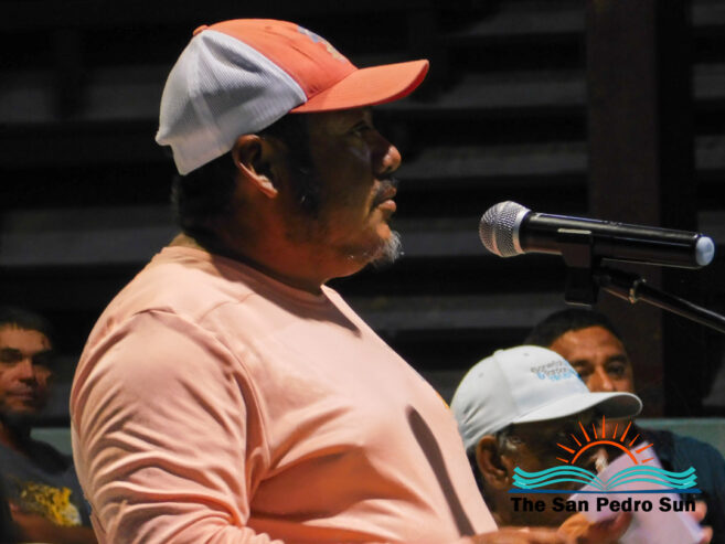
Tour guide students also raised concerns, citing the importance of mangroves as nurseries for juvenile marine life. They questioned the dredging methods and warned that impacts could extend to the barrier reef itself.
The presenters responded to the questions and thanked attendees for their engagement. A copy of the EIA is available at the island’s DOE office in Boca del Rio or online at www.doe.gov.bz. Organizers encouraged the public to submit written comments by December 15, 2025, to the Chief Environmental Officer at the Department of Environment, 7552 Hummingbird Highway, Belmopan, or by email at [email protected] or [email protected]. The DOE can also be contacted at 822-2548 or 822-2819.